
OceanaGold Goes 3D with Geological Mapping

At a Glance
OceanaGold strengthened its Macraes (New Zealand) gold mine by implementing FaceCapture, enabling daily digital geology mapping on full color 3D georeferenced face models; resulting in higher-quality geologic and geotechnical modeling.
FaceCapture has radically improved our underground mapping abilities, modernizing the data that feeds into geological modeling, geotechnical risk management, and mine planning; enabling better, safer decisions.
Brian Adams
Principal Geotechnical Engineer
Save a PDF version of this case study.
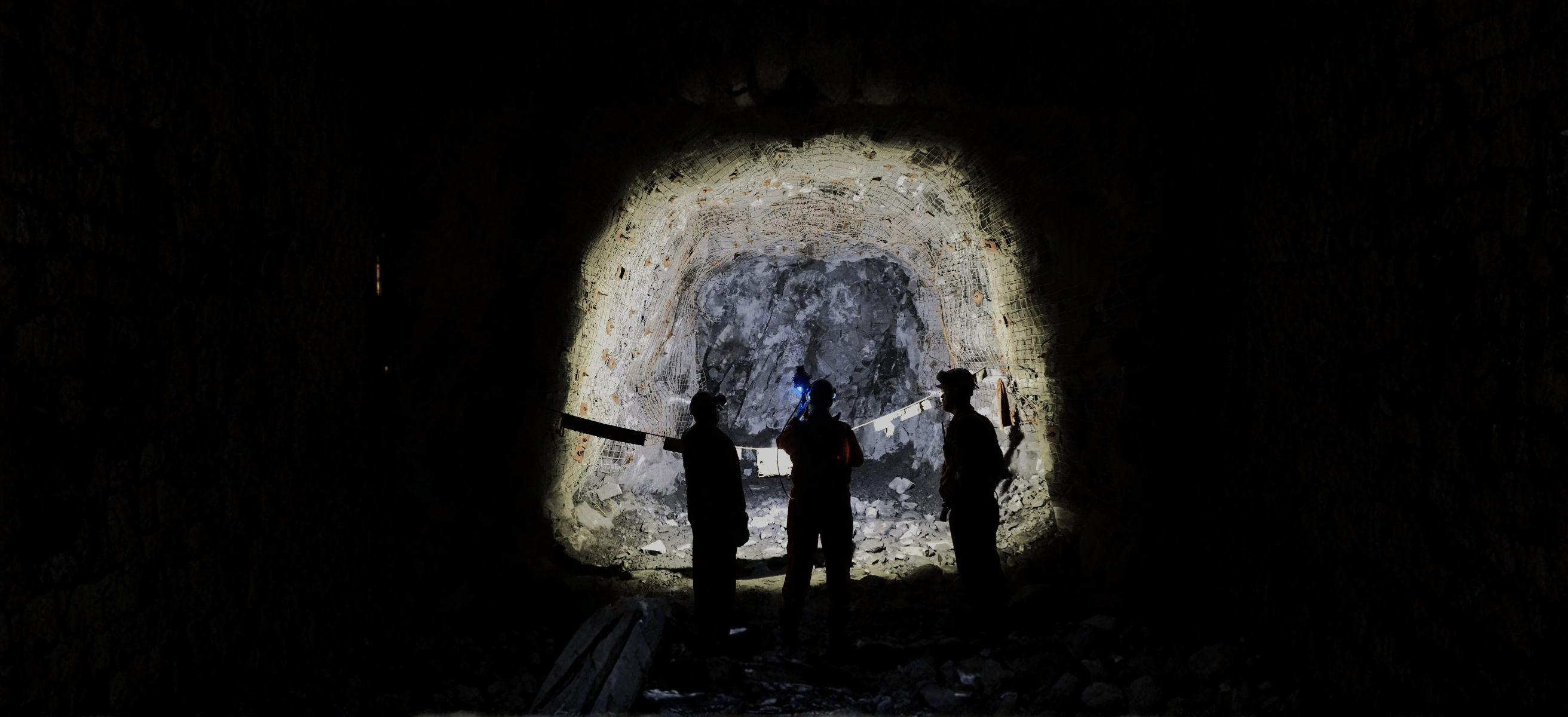
DownloadSituation
- Macraes had previously implemented a digital 2D Deswik Mapping workflow, but with variable accuracy due to lack of georeferencing and interpretation bias
- Geologists were unable to accurately measure structural orientations with no access to unsupported faces
- Geological interpretations made at the face were difficult to review afterwards
- Survey frequency in production headings was limited
Solutions
- Implemented FaceCapture in Q1 2024 at Macraes
- Fast, accurate data collection for crucial production faces
- Accurate georeferencing limits positioning errors and facilitates high quality geological mapping
- Flexibility to map at the face or in the office to reduce production blockers

Benefits
- Instant integration with production planning and mine modeling software (Deswik and Leapfrog)
- Trustworthy data for rapid model changes impacting stoping and mining
- 3D photorealistic face models provide a long-term quality database of “as-cut” dimensions and ground conditions
- The expanding database enables geological orebody and structural models to be updated with improved confidence