
The next generation of FaceCapture is here.
Instant, georeferenced 3D data at the mine face. Improving geology mapping, blast analysis, and development tracking in real time.
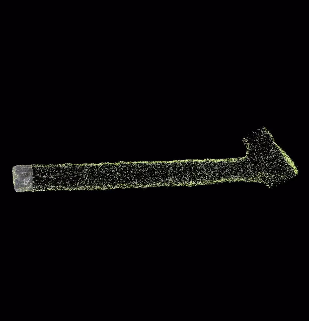
.png)
Create a precise, location-aware image of your mine in real-time.
Capture and process data simultaneously at the mine face.
Safe and Accurate Mapping
Geologists can rapidly capture 3D face mapping data from a safe position, reducing total time at the mine face.
Faces can be mapped with higher accuracy to quickly produce actionable data and improve production mine-wide.


Simplified workflow
FaceCapture’s simple base map creation automates geospatial alignment and eliminates post-processing.
Data can be be viewed immediately and exported into modeling or mine planning systems.
Optimized operations
Drive new productivity and efficiency with better data for blast hole optimization and ore body modeling inputs.
Seamless integration into your workflow.
FaceCapture generates data that can be used natively in existing mine workflows. On the first day, customers immediately use FaceCapture data in their favorite software packages such as: Datamine, Deswik, Leapfrog, Vulcan, Surpac (Geovia), Micromine, etc...


Supported by a growing network of integration and implementation partners.
Mine Vision Systems works with trusted partners globally to connect with the systems you use and deliver the high quality you need. Wherever your operations may be.