The next generation of FaceCapture is coming soon.
Lighter. Faster. Better.
Learn how global mining leaders are revolutionizing their production workflows with FaceCapture. Register for our upcoming launch webinar or reach out to the MVS team to learn more.
.png)
Create a precise, location-aware image of your mine in real-time.
Capture and process data simultaneously at the mine face.
Safe and Accurate Mapping
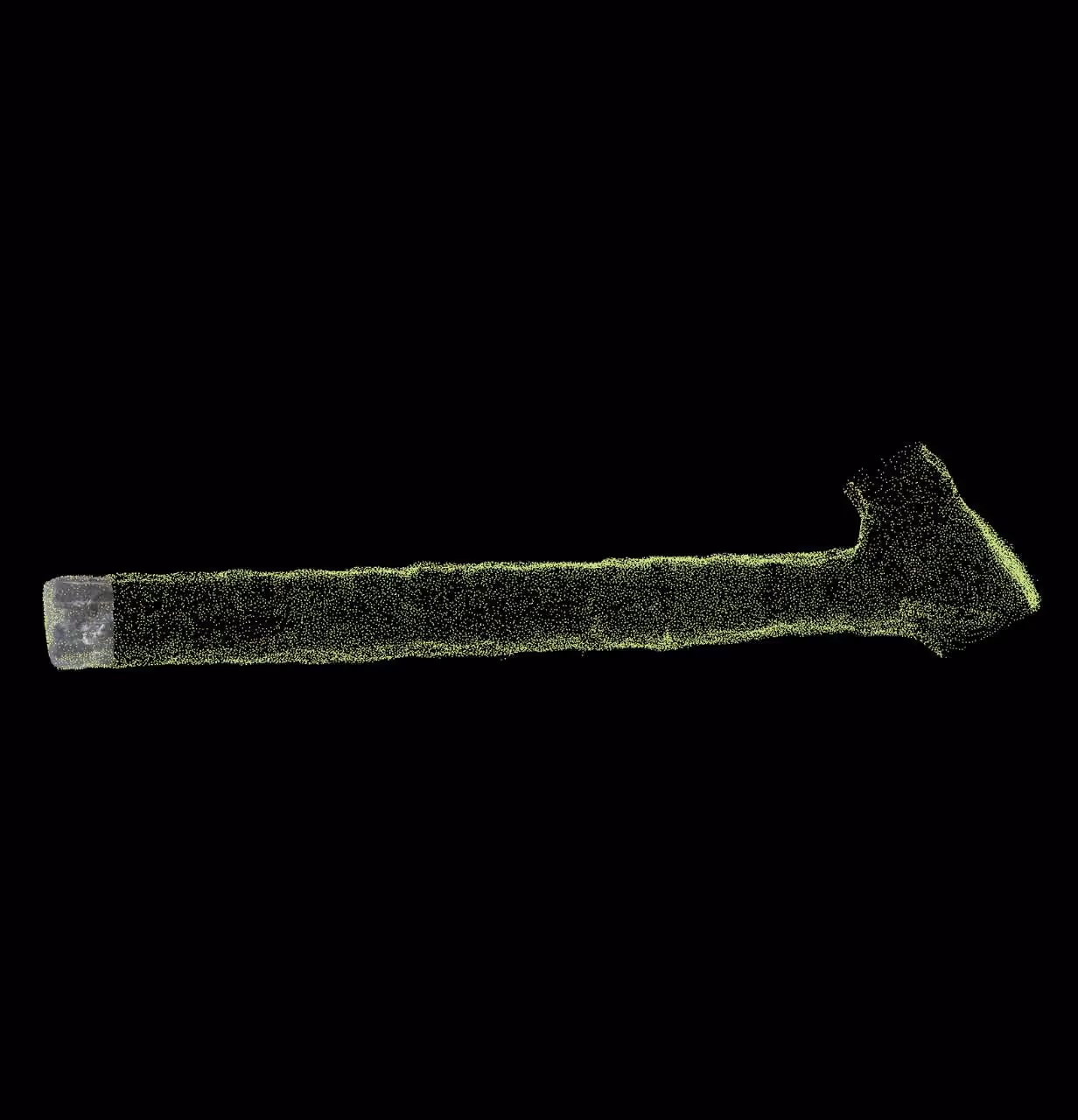
Geologists can rapidly capture 3D face mapping data from a safe position, reducing total time at the mine face.
Faces can be mapped with higher accuracy to quickly produce actionable data and improve production mine-wide.


Simplified workflow
FaceCapture’s simple base map creation automates geospatial alignment and eliminates post-processing.
Data can be be viewed immediately and exported into modeling or mine planning systems.
Optimized operations
Drive new productivity and efficiency with better data for blast hole optimization and ore body modeling inputs.